|
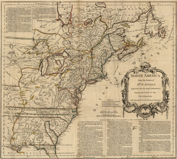
“North
America from the French of Mr. D’Anville Improved with the Back Settlements
of Virginia and Course of Ohio Illustrated with Geographical and Historical
Remarks.”
London: Published
by Thomas Jefferys, 1755.
Dimensions of entire sheet: 20 ¾ X 18 ¾ inches.
Dimensions of image: 19 15/16 X 17 7/8 inches.
Originally tipped into A Summary, Historical and Political of the First
Planting, Progressive Improvements, and Present State of the British Settlements
in North-America. By William Douglass. (Boston, 1755).
Click here to view citations for all of the maps.
|


