|
One
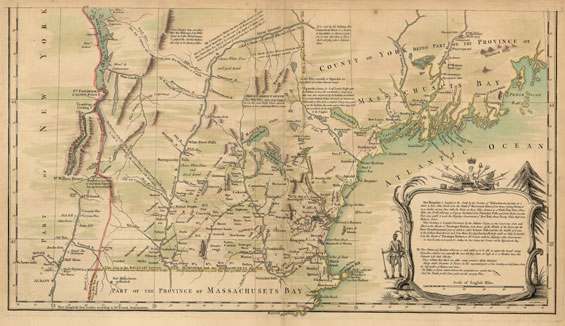
plate of “An Accurate Map of His Majesty's Province of New Hampshire
in New England, taken from Actual Surveys of all the Inhabited Part, and
from the Best Information of what is Uninhabited, together with the Adjacent
Countries, which Exhibits the Theatre of this War in that Part of te World,
by Col. Blanchard and the Rev. Mr. Langdon.”
Drawing by Joseph
Blanchard and Samuel Langdon, engraving by Thomas Jefferys.
London: Published by Thomas Jefferys, after 1761.
Dimensions of entire sheet: 29 ¼ X 21 7/8 inches.
Dimensions of image: 27 X 14 3/16 inches.
Plate 33 from Atlas Des Colonies Angloises en Amerique (after 1777).
[Title of atlas taken from manuscript title page.]
Click here to view citations for all of the maps.
|