|
One
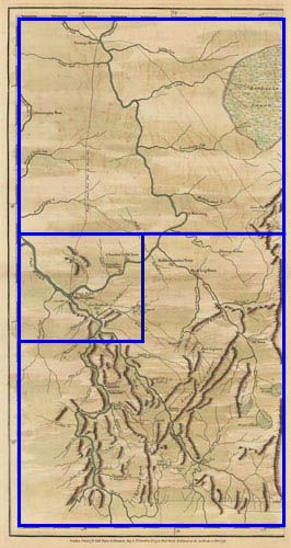
plate of “A Map of Pennsylvania Exhibiting not only the Improved
Parts of the Province, but also Its Extensive Frontiers: Laid down From
Actual Surveys and Chiefly From the late Map of W. Scull Published in
1770; and Humbly Inscribed to the Honourable Thomas Penn and Richard Penn
Esquires True and Absolute Proprietaries & Governors of the Province
of Pennsylvania and the Territories thereunto belonging.”
By W. Scull.
London: Published by Robert Sayer, 1775.
Dimensions of entire sheet: 21 3/16 X 29 1/8 inches.
Dimensions of image: 14 X 27 1/8 inches.
Plate 36.3 from Atlas Des Colonies Angloises en Amerique (after
1777). [Title of atlas taken from manuscript title page.]
Click here to view citations for all of the maps.
|