Collections Online
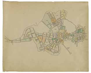
Clough's Atlas of Boston neighborhoods based on the Direct Tax Census of 1798
To order an image, navigate to the full
display and click "request this image"
on the blue toolbar.
-
Choose an alternate description of this item written for these projects:
- Main description
[ This description is from the project: MHS 225th Anniversary ]
Samuel Clough's atlas contains manuscript maps showing the street layout and property ownership of 55 blocks of Boston neighborhoods, based on the Direct Tax Census of 1798. Included is a color-coded drawing of Shawmut Peninsula on the front leaf. Clough planned to publish a topographical history of Boston, but never finished it.

