By Anna Clutterbuck-Cook, Reader Services
Today we return to the 1917 diary of Gertrude Codman Carter. You may read the previous entries here:
Introduction | January | February | March | April | May
June | July | August | September | October | November
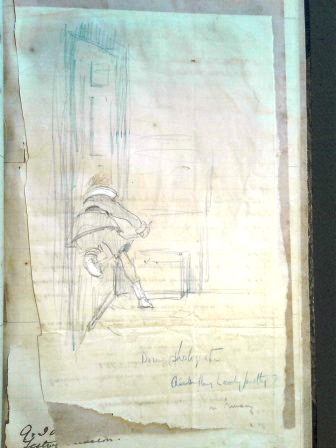
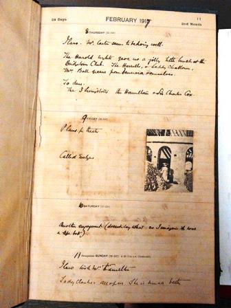
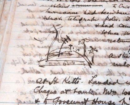
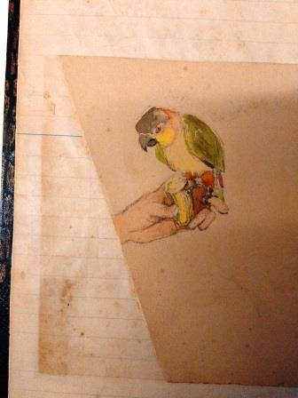
It is the final month of 2017 and 1917 as well; Gertrude Carter left scant record behind as the Carter family’s year ended in news of the death of Gertrude’s grown stepson, Otho, when his ship was torpedoed on November 28th. News reached his father on December 4th, the final page of the diary. The only items left in the journal are pasted in, a photograph, cryptically captioned “the Prophets of Ruby Bay,” and a sketch of a room — “Black & white room” — with Gertrude’s design notations penciled in — “Writing table here” and “Beam 1 foot deep”.
It seems fitting that we let Gertrude’s work as an artist and architect close out our year with her. Thank you for joining us on our journey with Gertrude Codman Carter through 1917! In January we will be introducing our diarist from 1918, a Newton (Mass.) teenager named Barbara Hillard Smith.
* * *
Dec 1.
Tea at the [illegible] Yearwoods.
Dec 2.
A very jolly [illegible] party. The Hancocks, Carpenters, Mrs. Smith [illegible], Laddie, Mr. Fell, Mrs. Da Costa. We sang & danced & had a generally jolly time of it.
Dec 3.
Met Mr. Eustace at L. Challum’s office. The [boots?] departed for the front.
Dec 4.
Poor G. came back from the town with a cable which had been handed him as he passed through. The cable was from Evelyn & said, “Otho lost at sea.” At first we could not grasp it for we had imagined him still in Africa — however when our letters came we found alas~ That he had been invalided home & they were expecting him shortly. G. went to the [illegible] who kindly cabled to the Colonial office & received the official confirmation that the “Apapa” had been torpedoed & sunk with severe loss of life & Otho amongst the lost.
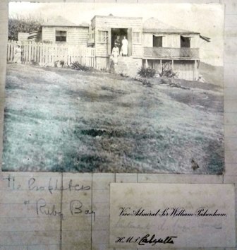
“Prophets of Ruby Bay”
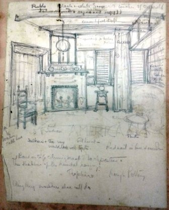
Black and White Room
* * *
As always, if you are interested in viewing the diary or letters yourself, in our library, or have other questions about the collection please visit the library or contact a member of the library staff for further assistance.


